The first ever maps of the shallow groundwater of the Fens of Eastern England, including Lincolnshire and Norfolk, revealed that saltwater is relatively close beneath the surface.
This means that if sea-levels rise, then salt content would affect the ability of the area to grow food.
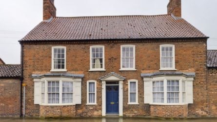
The Eastern English Fens collectively produce 11% of the agri-food economy from just 4% of the agricultural land covering the entire country.
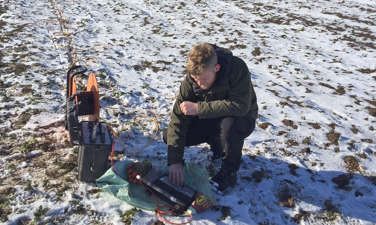
The stratigraphic map of the shallow groundwater was collated by a team led by academics from the University of Lincoln after taking electrical soundings to assess the depth at which saline water lies beneath the land.
The work revealed that even 6 miles from the coast, the depth of this salinity is only a few meters beneath the surface.
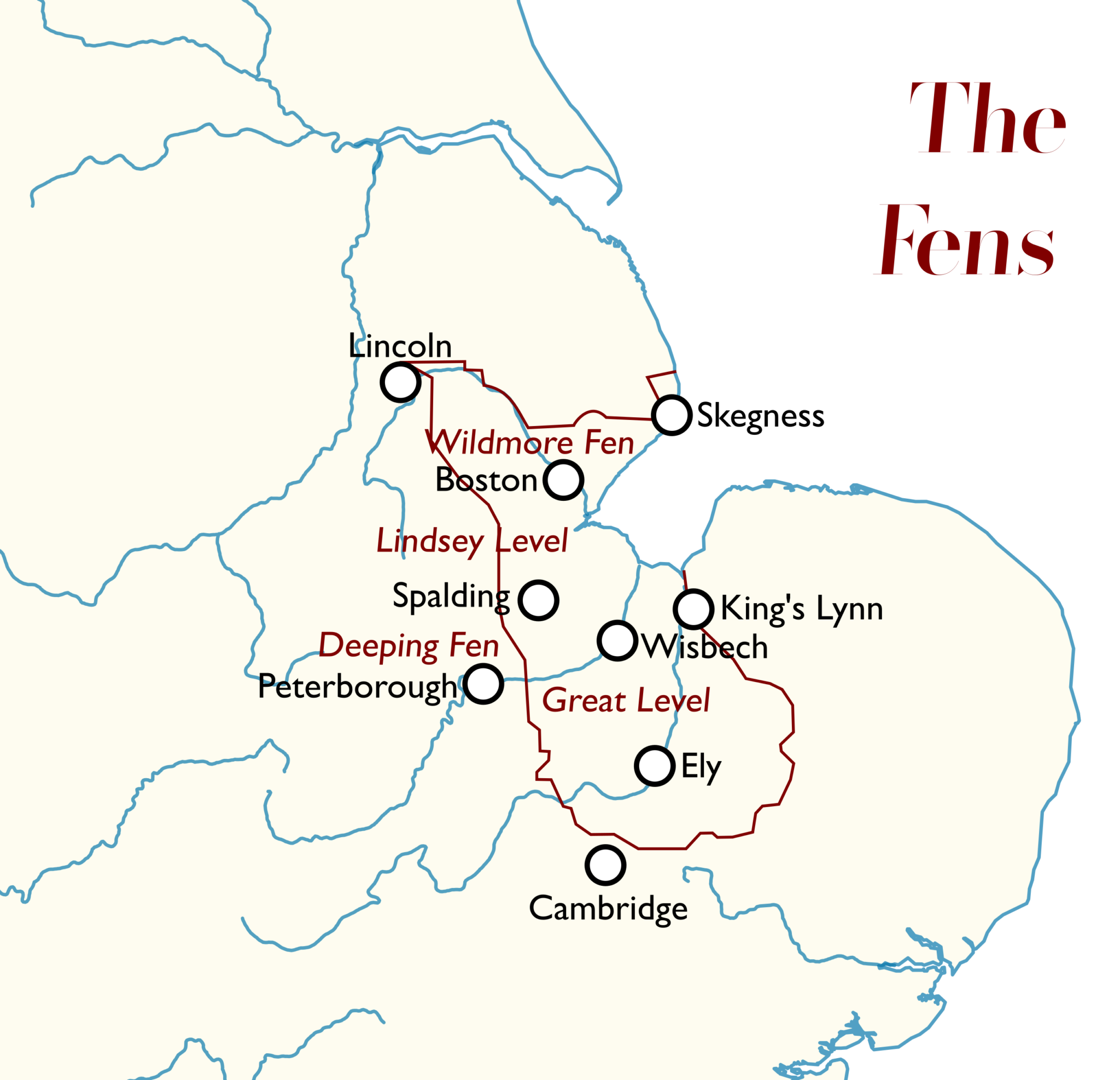
Map of eastern England, showing position of the Fens along Lincolnshire, Cambridgeshire and Norfolk.
Project leader and Deputy Head of Life and Environmental Sciences (Geography) at the University of Lincoln, Dr Daniel Magnone said: “The work shows that the groundwater could be a pathway to salinisation of these critical lands either via sea-level rise or over-abstraction of the water.
“Such an outcome would be hugely damaging to farming businesses in the area and our next task is to predict how climate change will affect this and what level of water abstraction could be sustainably undertaken in the area.”
Over-abstraction is when more water is pumped out of an area than is replenished via rainwater; it is important to establish a sustainable balance to avoid saltwater intrusion, which is a particular threat in coastal areas.
Previous work by the University of Lincoln demonstrated that salinisation of agricultural lands in the area would cost up to £5,000 per hectare for every saline flood due to the drop off in yields of the high-value crops grown throughout the region.
The project maps the geology of the area by re-interpreting old cores, some of which date back to the 1880s.
This region is vulnerable to soil salinisation from sea-level rise with estimated 100-year flood events projected to be observed up to every two years by 2100.
These new maps are part of wider EU funded work and will help the team predict the effects of climate change across the area, and devise solutions to protect the valuable agricultural land can be devised.
Bibliographic reference: Moulds, M., Gould, I., Wright, I. et al. Use of electrical resistivity tomography to reveal the shallow freshwater–saline interface in The Fens coastal groundwater, eastern England (UK). HydrogeolJ (2023). https://doi.org/10.1007/s10040-022-02586-2
The Lincolnite welcomes your views. All comments are reactively-moderated and must obey the house rules. Please stay on topic and be respectful of other readers.
Exciting news for MyLocal app users and The Lincolnite readers! Our latest update is now available to download from your app store and comes packed with the best local news experience you can enjoy.
Revamped News Feed: Enjoy faster loading times and smoother scrolling that make catching up on local news a breeze.
New Play Video Feed: Dive into a dynamic video feed that brings local stories to life in a whole new way.
Enhanced In-App Browser: Access external links quickly and efficiently, right from the app, without any distractions.
Update your MyLocal app from your app store (version 2.73) now and start enjoying these great new features today!
P.S.: Start your MyLocal membership today to support MyLocal and The Lincolnite deliver you a better local news experience and honest journalism from across Lincolnshire.
P.P.S.: We have some huge things in the pipeline, stay tuned!
 Whatsapp