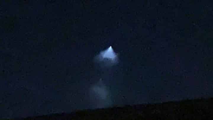
A strange flying object described by some as a ‘UFO’ was seen in Lincolnshire’s skies on Monday night, and it turns out it was a NASA rocket and satellite.
One person who lives near the South Common in Lincoln captured a photo of the light in the sky at around 10pm on September 27. It was also seen in locations such as Skegness, as well as various other places across the globe.
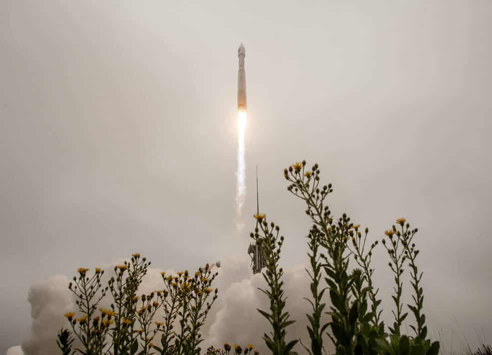
Landsat 9, a NASA satellite to monitor the Earth’s land surface, successfully launched at 2.12pm (Eastern Daylight Time) from Vandenberg Space Force Base in California. NASA said on Monday that Landsat 9 is performing as expected as it travels to its final orbital altitude of 438 miles.
The United Launch Alliance (ULA) Atlas V rocket with the Landsat 9 satellite onboard launched on Monday, Sept. 27. | Photo: NASA/Bill Ingalls
Whilst some people in local social media groups, including ‘You’re probably from Lincoln if’, correctly identified the unusual cone of light, others pointed to aliens and UFOs, and even the petrol crisis.
Luke Vickers said: “It’s a fuel drop. Quick get it.”
Phil Kitchen said: “It was a UFO and the aliens onboard saw the ridiculous queues outside a petrol station and decided there was no intelligence on earth so turned back.”
Darren Gallacher said: “The space station was due to be visible tonight (Monday), however it’s not usually that bright.”
Kerry Halls said: “Panic over! Aliens not coming to take over, it was a rocket launch! How incredible!”
The first Landsat satellite launched in 1972. Since then, NASA has always kept a Landsat in orbit to collect images of the physical material covering our planet’s surface and changes to land usage.
Those images allow researches to monitor phenomena including agricultural productivity, forest extent and health, water quality, coral reef habitat health, and glacier dynamics.
NASA said: “Success! Landsat 9 launched today to continue a nearly 50-year legacy of monitoring the health of our planet. A partnership with USGS (U.S. Geological Survey), the satellite will help people manage the Earth’s natural resources with science-based decisions.”
Success! #Landsat 9 launched today to continue a nearly 50-year legacy of monitoring the health of our planet. A partnership with @USGS, the satellite will help people manage Earth's natural resources with science-based decisions: https://t.co/VlSDo6Kz8Xpic.twitter.com/gTB6foW0ZT
NASA Administrator Bill Nelson said: “NASA uses the unique assets of our own unprecedented fleet, as well as the instruments of other nations, to study our own planet and its climate systems.
“With a 50-year data bank to build on, Landsat 9 will take this historic and invaluable global program to the next level. We look forward to working with our partners at the U.S. Geological Survey and the Department of the Interior again on Landsat Next, because we never stop advancing our work to understand our planet.”
Landsat 9 joins its sister satellite, Landsat 8, in orbit. Working in tandem, the two satellites will collect images spanning the entire planet every eight days.
The Lincolnite welcomes your views. All comments are reactively-moderated and must obey the house rules. Please stay on topic and be respectful of other readers.
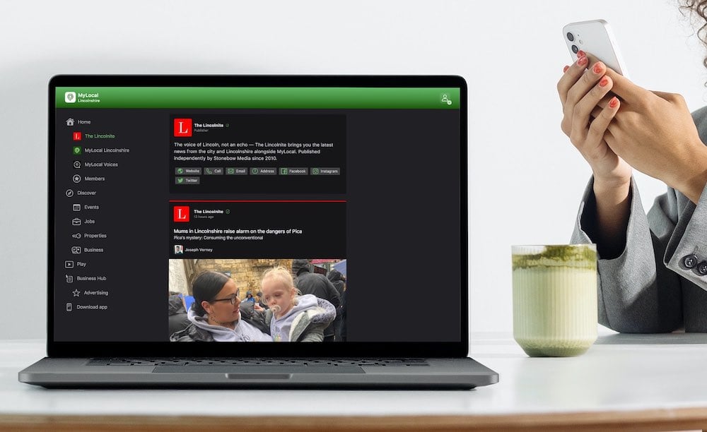
Exciting news for MyLocal app users and The Lincolnite readers! Our latest update is now available to download from your app store and comes packed with the best local news experience you can enjoy.
Revamped News Feed: Enjoy faster loading times and smoother scrolling that make catching up on local news a breeze.
New Play Video Feed: Dive into a dynamic video feed that brings local stories to life in a whole new way.
Enhanced In-App Browser: Access external links quickly and efficiently, right from the app, without any distractions.
Update your MyLocal app from your app store (version 2.73) now and start enjoying these great new features today!
P.S.: Start your MyLocal membership today to support MyLocal and The Lincolnite deliver you a better local news experience and honest journalism from across Lincolnshire.
P.P.S.: We have some huge things in the pipeline, stay tuned!
 Whatsapp