March 24, 2021 10.31 am
This story is over 51 months old
Almost 50k Lincolnshire homes now better protected from flooding
Massive investment in flood protection
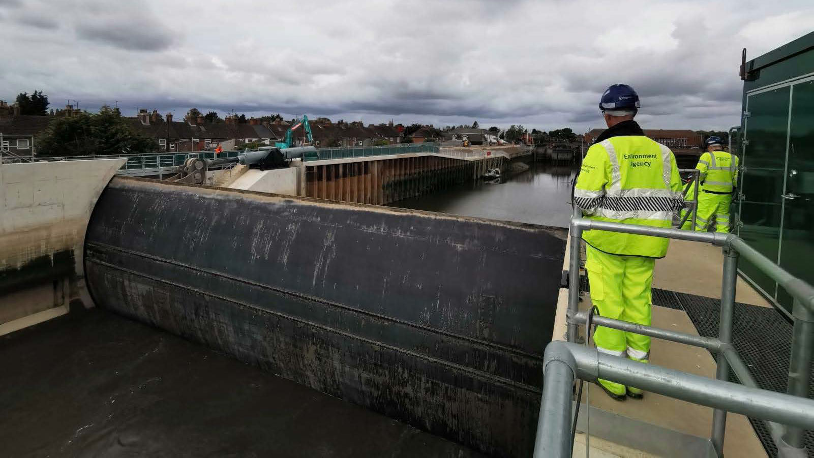
The Boston Barrier gate is now fully ready and working, giving an enhanced level of flood protection to more than 13,000 homes and businesses in the town. | Photo: Environment Agency
Almost 50,000 homes in Greater Lincolnshire are now better protected from flooding and coastal erosion.
The Environment Agency said 300,000 homes, nearly 600,000 acres of agricultural land, thousands of businesses and major pieces of infrastructure are now better protected in England from the effects of climate change compared with 2015.
Since 2015, £2.6 billion has been invested in more than 700 projects in England, including 39 in Greater Lincolnshire.
The successful delivery of the programme comes ahead of the start of the record £5.2 billion investment in 2,000 new flood and coastal defences across England between 2021 and 2027.
The investment is expected to see £600 million allocated to the Environment Agency’s Lincolnshire and Northamptonshire operational area, with around 36,000 local properties better protected by 2027.
Some of the most significant schemes delivered by the Environment Agency in Greater Lincolnshire since 2015 include:
Boston Barrier
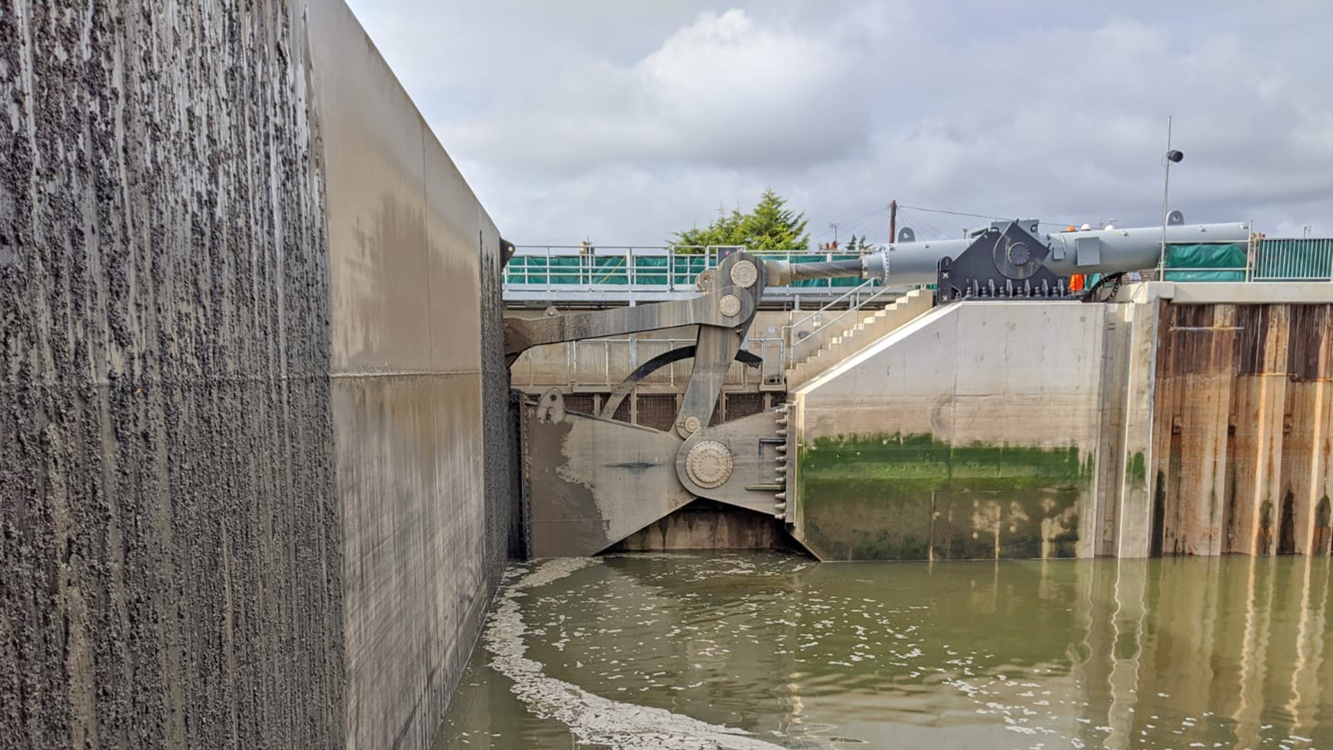
A side view of the Boston Barrier’s mechanisms. | Photo: Environment Agency
The Boston Barrier gate is now fully ready and working, giving an enhanced level of flood protection to more than 13,000 homes and businesses in the town. The barrier gate can now be raised in just 20 minutes.
With the whole of the £100m Environment Agency scheme now two-thirds complete, the project will provide Boston with one of the best standards of flood defence outside of London.
It is expected to be fully completed in 2022 when flood risk to over 14,000 homes and 800 businesses will be greatly reduced.
Humber Grimsby Docks
The £14.5 million scheme was completed in 2015 and improved 3.5km of sea defences at the town’s dock. This reduced flood risk for around 12,000 properties, as well as one of the nation’s most important ports.
Lincolnshire beach management
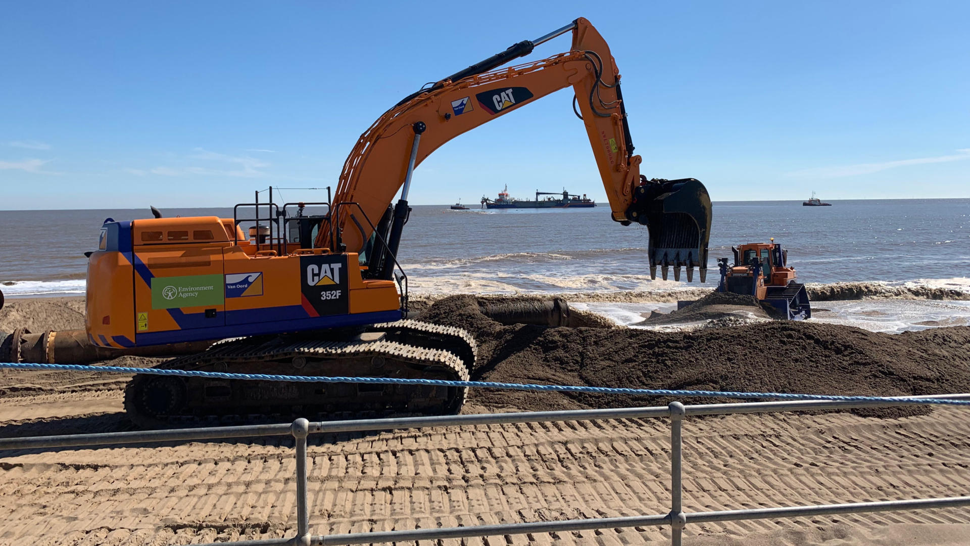
The yearly project tops up sand on beaches between Saltfleet and Gibraltar Point. | Photo: Environment Agency
The yearly £7 million project to top up sand on beaches between Saltfleet and Gibraltar Point reduces flood risk for 20,000 homes and businesses, 24,500 static caravans and 35,000 hectares of land. This year’s scheme is expected to start in April 2021.
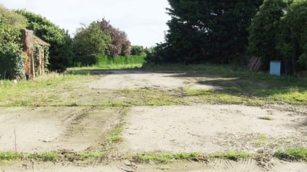
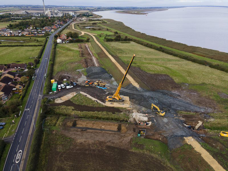
Winteringham Ings to South Ferriby
Works at South Ferriby. | Photo: DCimaging/Darren Casey
The £12 million scheme is due for completion this summer and will reduce the risk of tidal flooding to 144 homes and businesses, as well as agricultural land, vital infrastructure and a main economic artery (the A1077).
The new and improved defences will help prevent a recurrence of the 2013 tidal surge, which flooded around 130 homes and 1,000 hectares of land that caused disruption to local people and £50 million of economic damage.
The Lincolnite welcomes your views. All comments are reactively-moderated and must obey the house rules. Please stay on topic and be respectful of other readers.
Exciting news for MyLocal app users and The Lincolnite readers! Our latest update is now available to download from your app store and comes packed with the best local news experience you can enjoy.
Revamped News Feed: Enjoy faster loading times and smoother scrolling that make catching up on local news a breeze.
New Play Video Feed: Dive into a dynamic video feed that brings local stories to life in a whole new way.
Enhanced In-App Browser: Access external links quickly and efficiently, right from the app, without any distractions.
Update your MyLocal app from your app store (version 2.73) now and start enjoying these great new features today!
P.S.: Start your MyLocal membership today to support MyLocal and The Lincolnite deliver you a better local news experience and honest journalism from across Lincolnshire.
P.P.S.: We have some huge things in the pipeline, stay tuned!
 Whatsapp