The University of Lincoln has started a new collaboration with Lincolnshire County Council as part of a £7.5million project to investigate groundwater flooding.
The two year Greater Lincolnshire Groundwater Project aims to carry out academic research and create nature-based measures to protect communities.
At a meeting on Monday, council officers confirmed the project was working with the uni to research salinisation and crop production.
It is hoped the data will contribute to future decision-making processes regarding food production and coastal water management.
“Groundwater issues are causing the encroachment of seawater in the area which is affecting the Fen and the crop production there,” said Vicky Jones, the council’s Flood Resilience Programme Coordinator.
“This will give us a quantifiable number of how many hectares of land are affected by salinisation and how that affects crops.
“We can then take this to the Government and show them the problems we have in Lincolnshire, how much it’s going to cost us moving forwards for the next 10-20 years, and ask how do we help solve this problem not only for us but as a nation?”
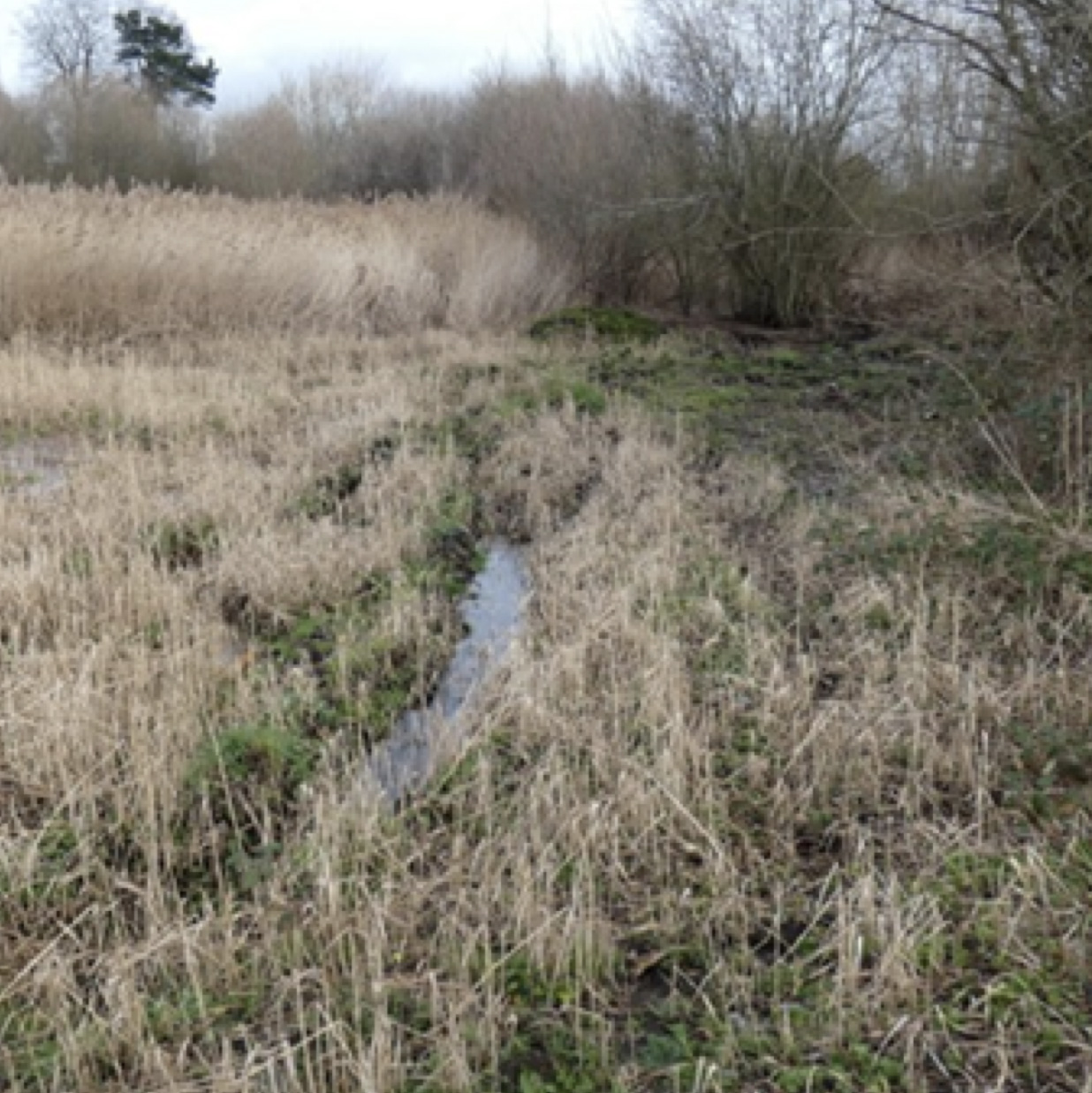
Work carried out by the Greater Lincolnshire Groundwater Project could help understand and help improve areas such as the Saltings Allotments in Grimsby. | Image: LCC
Led by Lincolnshire County Council in partnership with various organisations, the entire project aims to raise awareness and develop a better understanding of groundwater.
Multiple trial communities have been chosen, each addressing specific challenges related to groundwater flooding.
In Barrow upon Humber, the focus is on improving the chalk stream habitats to mitigate low flows and reduce flood risk. Hydrologists are examining the effectiveness of nature-based solutions and the impact of climate change on flood prevention.
In Barton, a new bypass will incorporate wetland nature-based solutions. By capturing and redirecting water flow, the project aims to minimise flooding and its damage. Predictive modelling is being used to determine the optimal water retention and release strategies.
In Bourne, the Groundwater Project is surveying numerous boreholes in the area in a bid to understand water loss patterns and identify potential solutions.
The data collected will provide insights into managing boreholes during flooding events and potentially serve as a blueprint for other areas facing similar challenges.
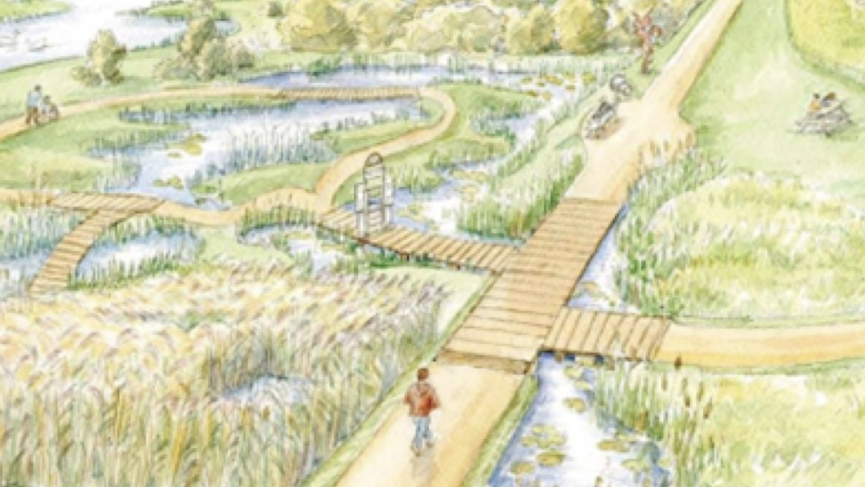
In Grimsby, the unused and waterlogged Saltings allotments are being transformed into a wetland. By capturing and redirecting water away from nearby properties, the initiative seeks to alleviate flooding issues. The project also involves ecological studies and soil analysis to ensure the wetland’s sustainability and enhance its natural habitat.
Elsewhere in Grimsby, there are plans to redesign Kingston Gardens to enhance capture of groundwater and expand the existing area with land contributed by Anglian Water.
Finally, in Scopwick, officers have been engaging with the local community to discuss historic flood events and carry out monitoring and modelling in order to come up with a nature-based solution in the future.
A new guidebook is also being designed to inform the implementation of dynamic licences with partners, maximise water availability during dry periods and reduce the risk of water obstruction.
The Lincolnite welcomes your views. All comments are reactively-moderated and must obey the house rules. Please stay on topic and be respectful of other readers.
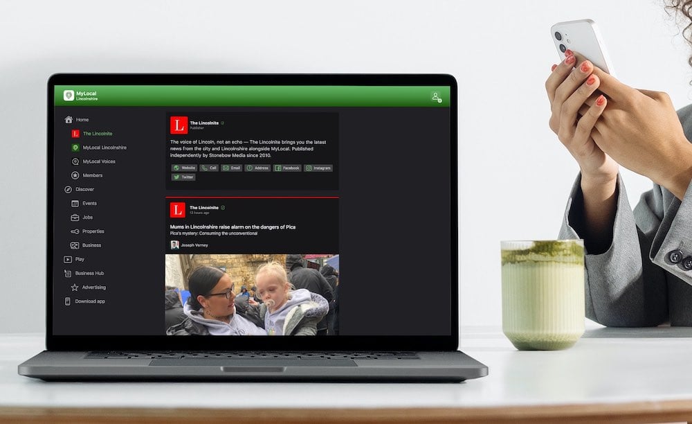
Exciting news for MyLocal app users and The Lincolnite readers! Our latest update is now available to download from your app store and comes packed with the best local news experience you can enjoy.
Revamped News Feed: Enjoy faster loading times and smoother scrolling that make catching up on local news a breeze.
New Play Video Feed: Dive into a dynamic video feed that brings local stories to life in a whole new way.
Enhanced In-App Browser: Access external links quickly and efficiently, right from the app, without any distractions.
Update your MyLocal app from your app store (version 2.73) now and start enjoying these great new features today!
P.S.: Start your MyLocal membership today to support MyLocal and The Lincolnite deliver you a better local news experience and honest journalism from across Lincolnshire.
P.P.S.: We have some huge things in the pipeline, stay tuned!
 Whatsapp